Recognize Risk
National Flood Insurance Program Maps
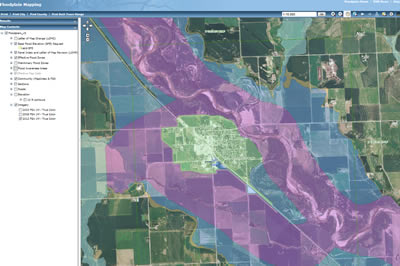
Iowa Interactive Floodplain Maps
The NDNR tool provides a graphical tool to identify your flood zone
Flood Map Mobile provides information to your Smartphone or Tablet.
Hazard Mitigation Plans
State of Iowa Hazard Mitigation Plan
This document identifies recognized hazards of many types throughout Iowa; specifically Section 3 of the document can be used to identify your hazard types.
Flood Risk Infrastructure
Maintentance of flood risk infrastructure is key in maintaining the risk reduction provided by dams and levees. Living behind levees or downstream of a dam provides a unique type of risk.
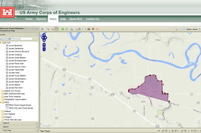
The NLD is a database of levees which were constructed by USACE or are involved in the USACE PL 84-99 program (not all levees are presented in this database).
Other Data Sources
- The NWS Advanced Hydrologic Prediction Service provides current and historic infomation about flood stages at several sites througout Iowa
Ice Jams create natural dams which cause localized flooding.
Ice Jam flooding is characterized by rapildy increasing river stages that can be significantly higher than normal.
Local Resources
- Floodplain management is a requirement of the local government and is supported by state, and federal agencies.
- Find your Local Floodplain Administrator
- Find your County Emergency Manager
- Find Your Iowa Conservation District
 |
The Iowa Department of Natural Resource Online Interactive Floodplain Maps provide state wide identification of Special Flood Hazard Areas. |
 |
The USACE National Levee Database can be used to identify areas behind levee systems in the PL84-99 program. |